From Lairg to the Most Northern Tip of the Mainland
The A836 is one of Scotland's dream routes.
It starts right behind Bonar Bridge and with it a long lonely ride up to Tongue. Neither radio nor mobile are working on this single-track-road. From Tongue you take the coastal road via John o'Groats to the eastern coast.

We left behind us Inverness, the Black Isle, and the Dornoch Firth at the eastern coast. Now we are off the much used motorways.
Now we go to see the heart of the country. We reach Bonar Bridge and Lairg.

Behind Lairg the long, lonely single-track-road begins. The local rules are quite simple:
The first one to reach a "passing place" stops and gives room to the oncoming traffic. The one passing lifts a hand for thanks.
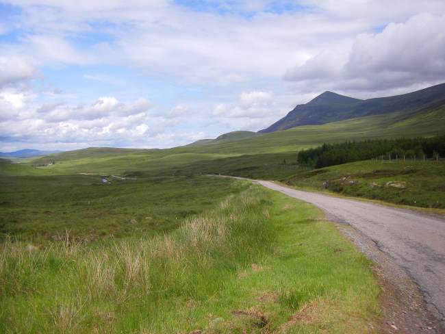
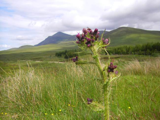
The weather gets worse but all the more impressive the mountains look.

Ben Klibreck getting into view.

It's an old Scottish saying that each glen has its own weather.
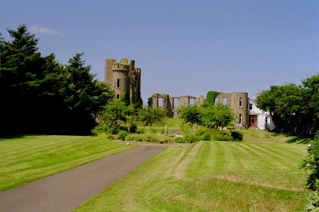
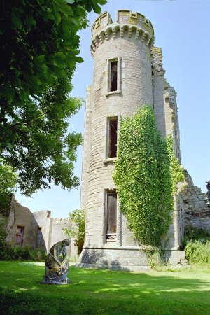
In the distance we can make out Castle Varrich and the Kyle of Tongue.

So a little detour for us.

It was built sometime in the 11th century...

...and was owned by the Mackays who are still in the majority here - this is Mackay country.

The castle is not really staggering but all the more so is the view to the Kyle of Tongue.

First now we go to the eastern shores of the Kyle of Tongue, then we pass Coldbackie, Borgie, and Leckfurin to our next stop:
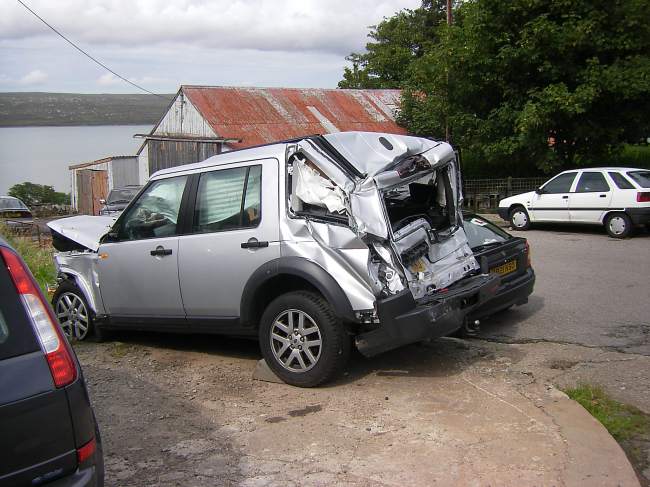
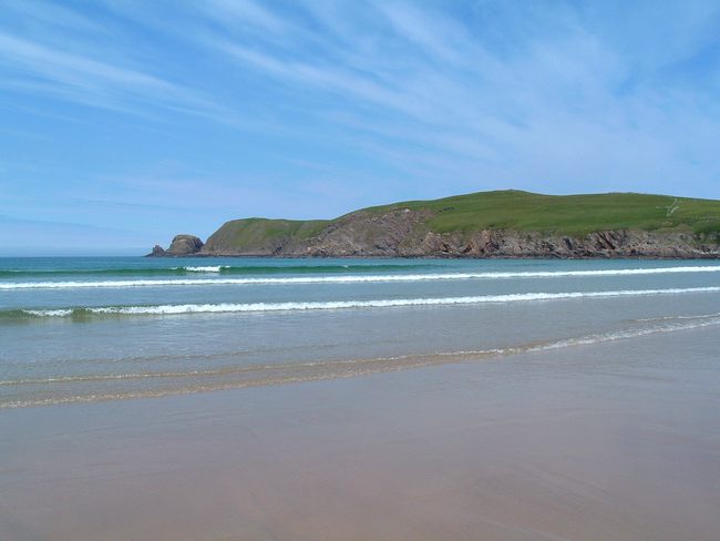
Bettyhill and the dream beach
They also have a repair shop - this car crashed down from the Durness cliffs.
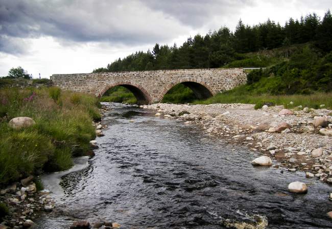
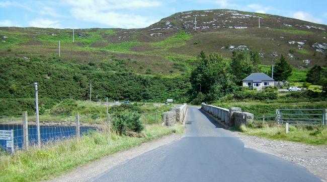
A narrow bridge and on we go to Bettyhill.
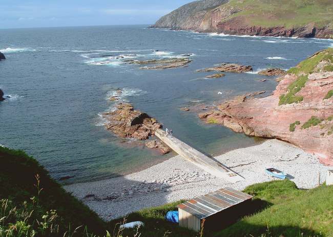
Just this corner...
...and from the distance we can see most inviting beaches.
A bit "as the crow flies" we proceed to the beach.
Why travel south? We feel like in the Caribbean here.
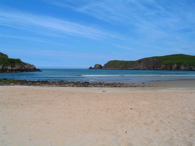
A clean beach, clear water - and far and wide nobody to be seen.
What about coffee and sticky toffee pudding in this small coffee house...

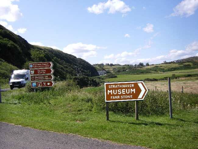
...then we continue, passing the Strathnaver Museum towards Armadale.
Not far from Bettyhill we get to the branch-off to Kirtomy and Swordly.
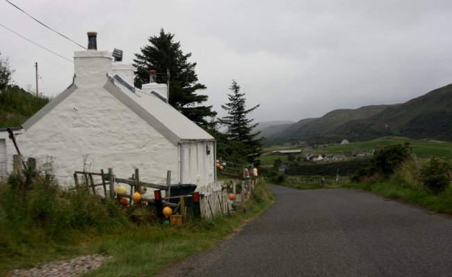
It simply looks inviting and we make a detour to Kirtomy.

A small hamlet with its widely spread cottages.

Noon is not the only lonely time here.

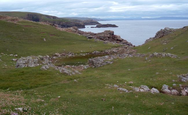
Now will this path take us right into the Atlantic Ocean?

Careful when moving! At some spots you may get a downfall of 30 metres.

No sandy beach, only rocks. Neither do any otters show up.
A few miles behind Armadale we turn off at Strathy.
Also here it is quite lonely - except some sheep glaring at us.

Nothing on here, just quiet and loneliness...

.. und natürlich die unvermeidlichen Schafe.

...at a place named "Totegan" - sounding just what it looks like.
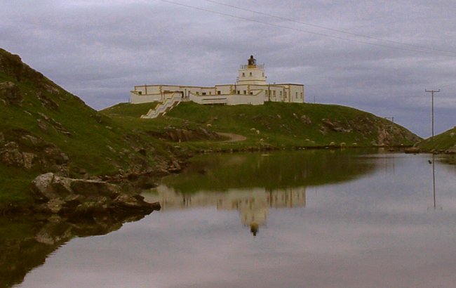
After a few miles we reach the lighthouse of Strathy Point.
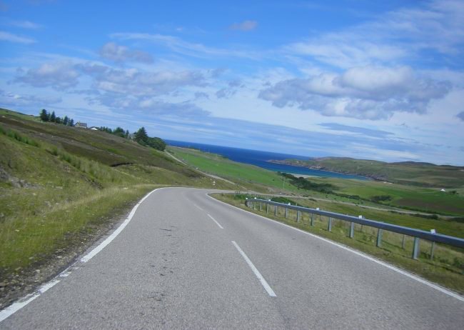
And on we go in eastern direction.

Sometimes fast, sometimes slow...

...with flexible weather.
Passing Portskerra we go to Dounreay and then across the Bridge of Forss toThurso.
A supermarket with a unique view to the Atlantic Ocean makes us replenish our groceries.

The ancient castle on the estates of NPP Dounreay.
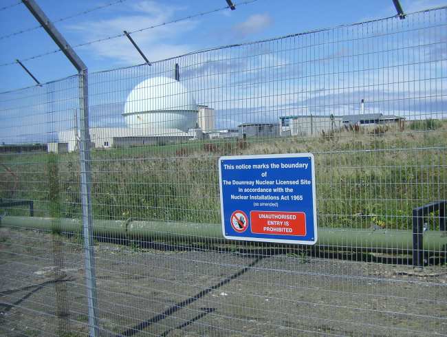
In 1977 there was a big explosion setting free radioactive material into the soil and spreading it far around.

Now we arrive in Thurso, in Gaelic Inbhir Theorsa. Dunnet Head can already be seen in the background.

Thurso is the most northern town of the Scottish mainland.

Close to 10,000 population, a few discoes, hotels, and several charming shops.

At the 'All Star Factory' cinema we have seen many a Harry Potter movie. By now it is closed for good - pitty.
We shall miss it - therefore we put in a few pictures for remembrance:
Goodbye All Star Factory Cinema


It's a placid town without hectic.
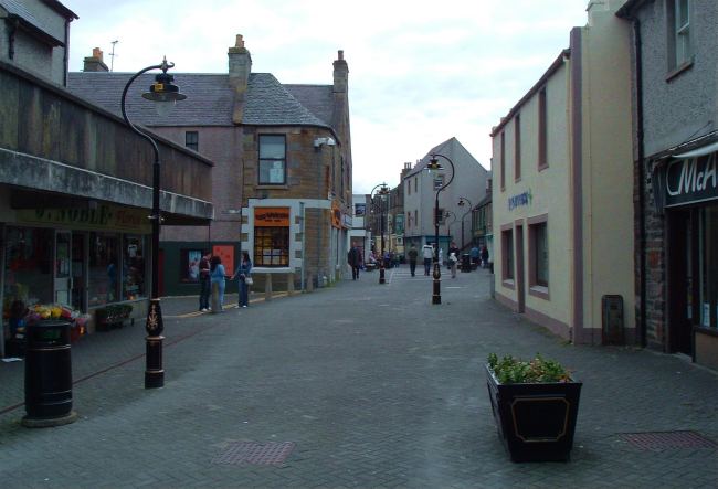
Rotterdam Street
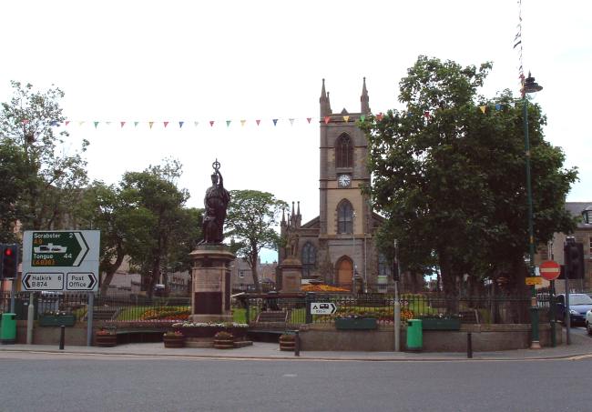
St. Andrew's Church

What a supermarket! When cueueing to pay you look right at the Atlantic Ocean!
You are not forced to buy everything there...

One last glance from the camp site to the Shetlands and Dunnet Head, our destination.
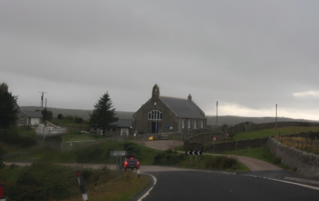
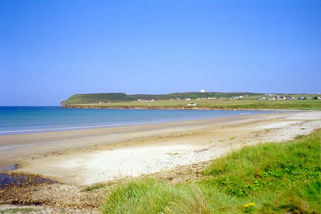
First there is a Stop in Castletown. Then we reach one of the most beautiful beaches of Scotland: Dunnet Bay.
At Castletown we visit Castletown Hill.
In the Heritage Center time has stopped...
...and we proceed without ringing up anyone.
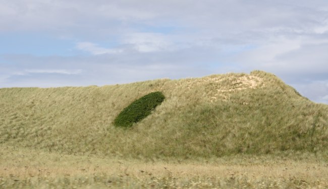
Passing a glorious landscape of dunes.
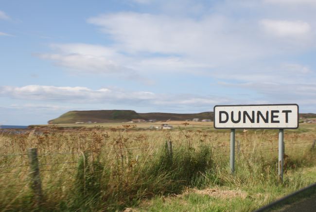
Soon we reach Dunnet.
If kids are with you, you certainly should make a longer break here.
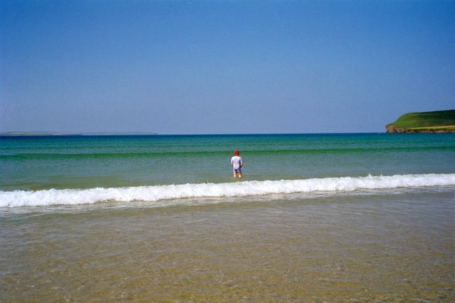
It's quite warm again and the seawater is wonderful.
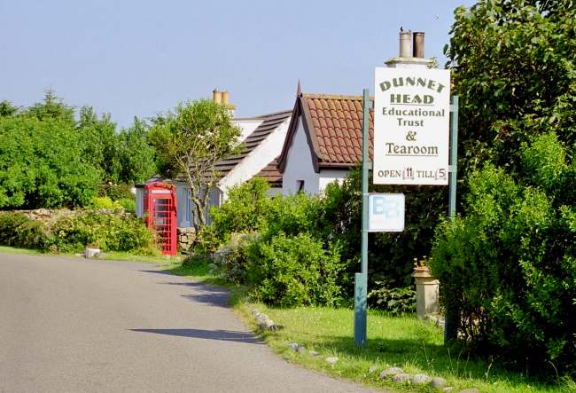
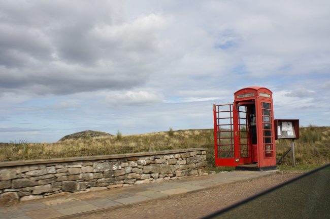
Our B&B gave us "at the phone booth" as direction.
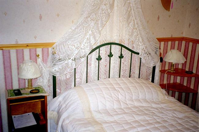
What a bed - but no really a quiet night fot 2 tall sleepers...
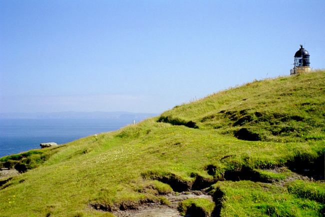
Finally we pass Brough and then we are there:
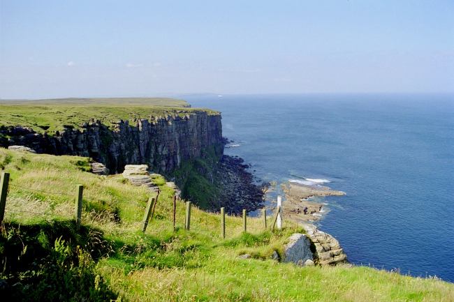
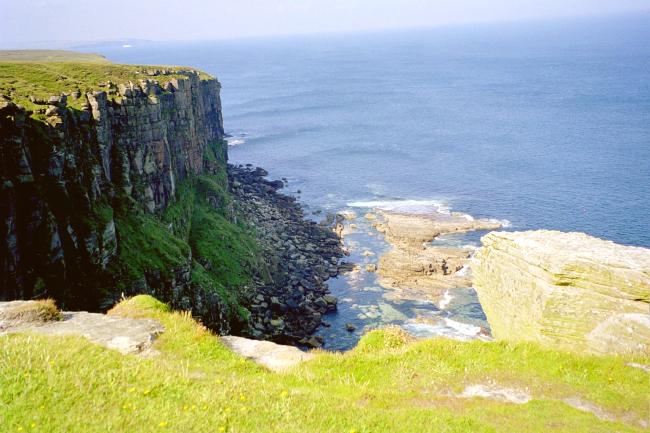
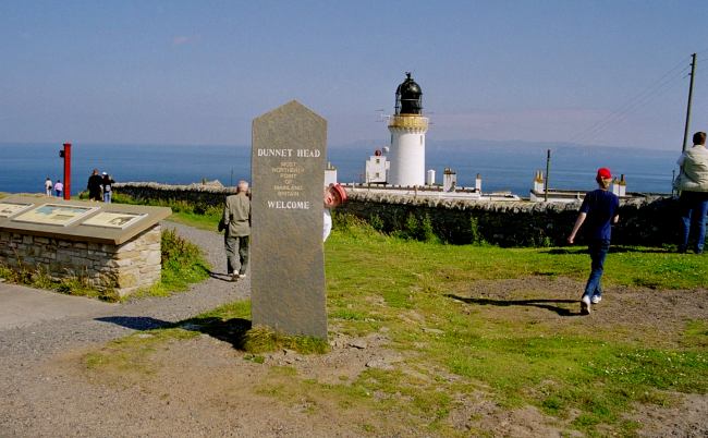
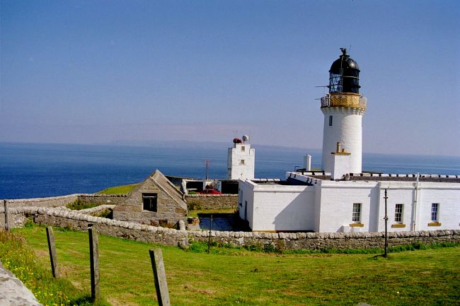
Dunnet Head, the most northern tip of the Scottish mainland
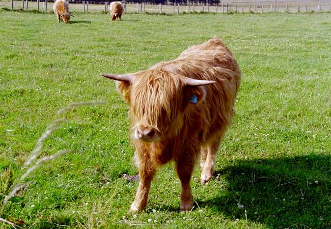
Charles-Henry, the most northern bull of Scotland.
Passing Black Loch, many other lochs and Long Loch, we head for the northern coast.
Colonies of birds, just like on Faraid-Head and Handa-Island .
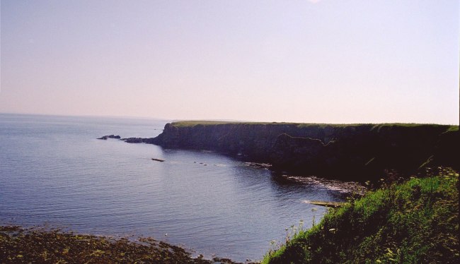
In the distance the Isle of Hoy of the Orkneys can be made out.
So this is the end of the road and the mainland.
For a long time we enjoy the view before returning.
Close to Brough we finish the day, looking at the Atlantic sundown.
Next were the Highlandgames scheduled. That will be via Scarfskerry to Castle Mey, only a few miles from here.